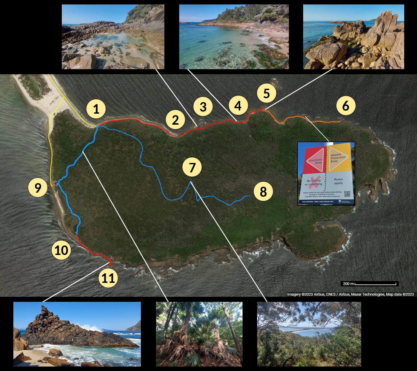
All three are fairly difficult, and some rock hopping experience is recommended for the last two (especially the last one). They also require low tide in order to be accessible, particularly at ③ and to be able to climb onto the rock formation at ⑪.
① to ⑧ — to summit: 1 hour.
① to ⑤ — rock hopping on north side: 1 hour.
① to ⑪ — trail then rock hopping on south side: 30-40 minutes.
So the total return trip to the summit and the north side are each about 3 hours, and the south side takes around 2 hours.
I generally take more time to take photos and enjoy the scenery.
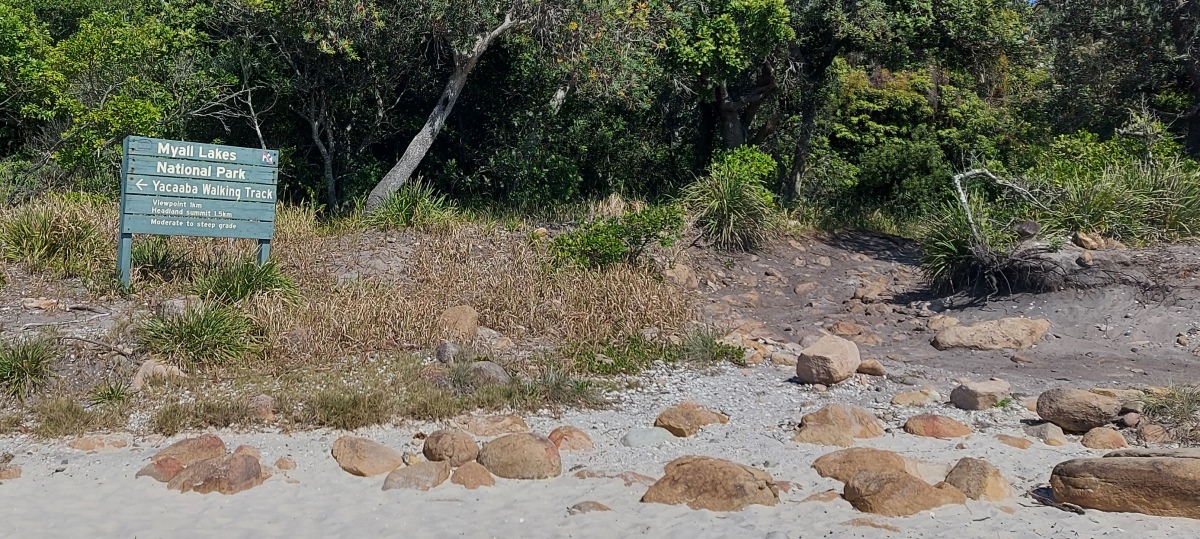
The narrow track heading into the bush goes to the top of Yacaaba Headland ⑧.
Past the rocks on the left there is an intermittent trail heading to the rocky vantage point ⑤.
It can be awkward walking over the small rocks in this area.
The waves can be quite relaxing to watch (video, another video).
Find your way across the rocks beyond the small beach.
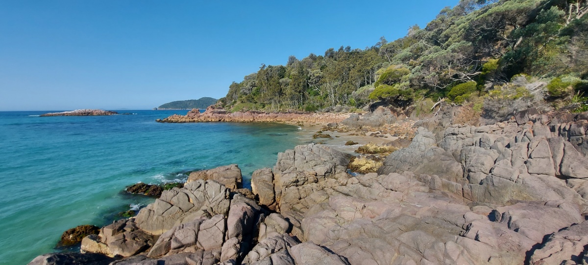
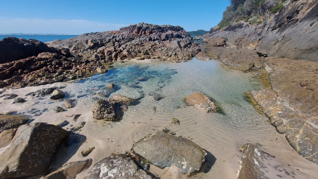
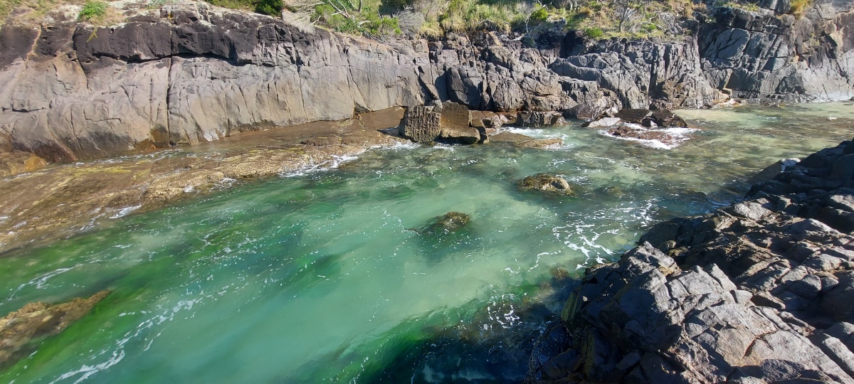
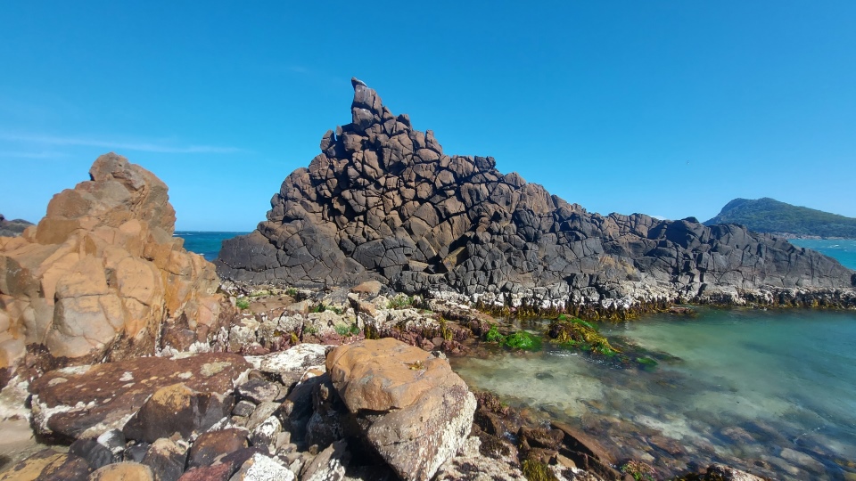
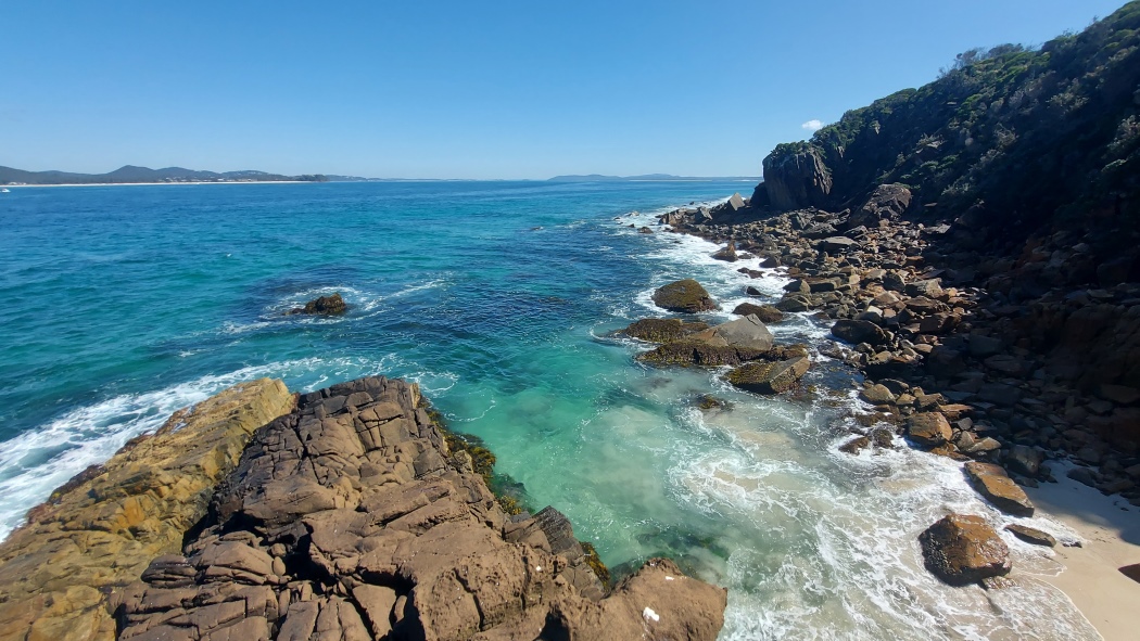
There is a pretty pool that gets cut off from the ocean at low tide. It often has small fish swimming in it.
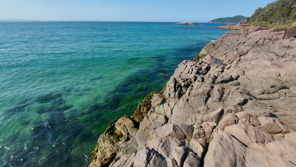
View from the rocks on the left. If the rock platform is wet as in this photo, the waves might make it too risky to traverse.
Cross over the rocks to reach the rock platform on the right.
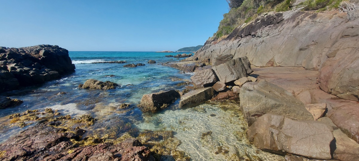
At the end of the platform, climb up using the available footholds and continue along the coast. Sometimes you may need to climb up or down a bit to find the easiest route.
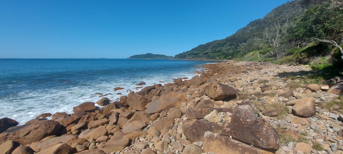
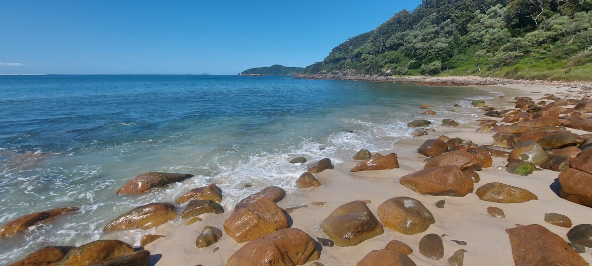
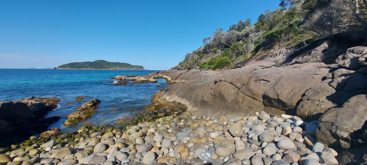
This beach can look very beautiful at the right time of day. There is an excellent viewpoint up on the left.
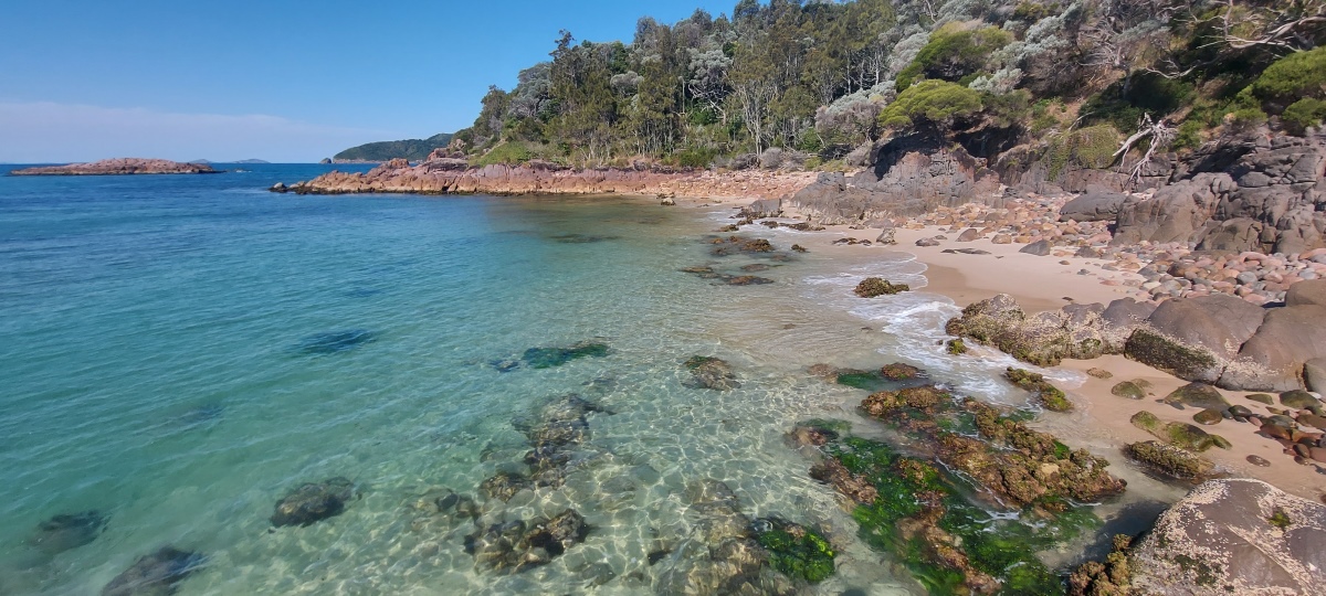
Climb down to the beach on the right. The large round rocks can be awkward to cross.
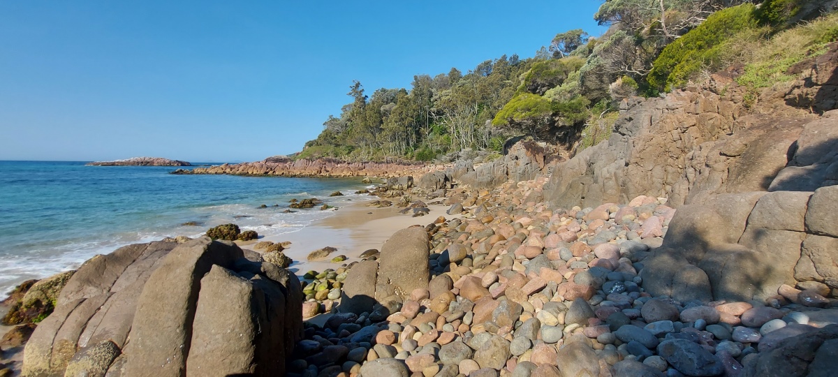
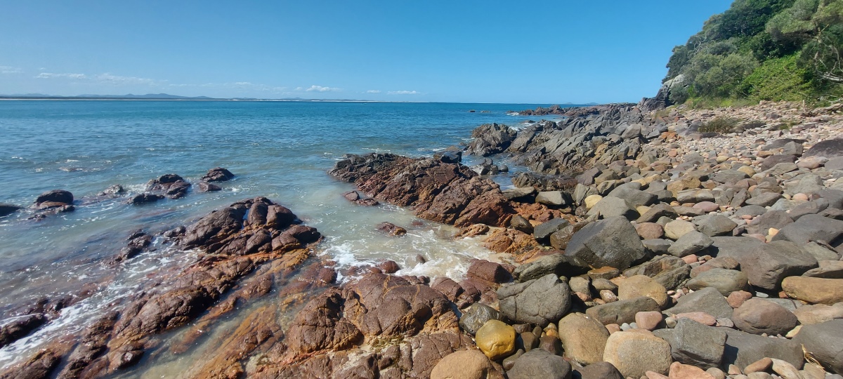
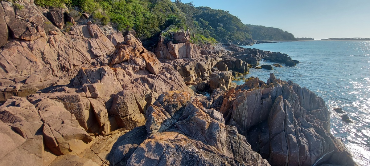
Continue around the coast.
This area involves climbing over large rocks. On a hot day there’s a shady spot to rest behind the right hand rock.
It is possible to climb up onto the left rock, or go down to the right to continue around the coast to ⑥ (which I think is a less interesting area).
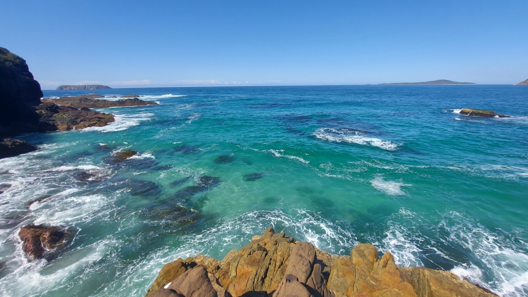
The left rock gives a 360 degree view of the area (video).
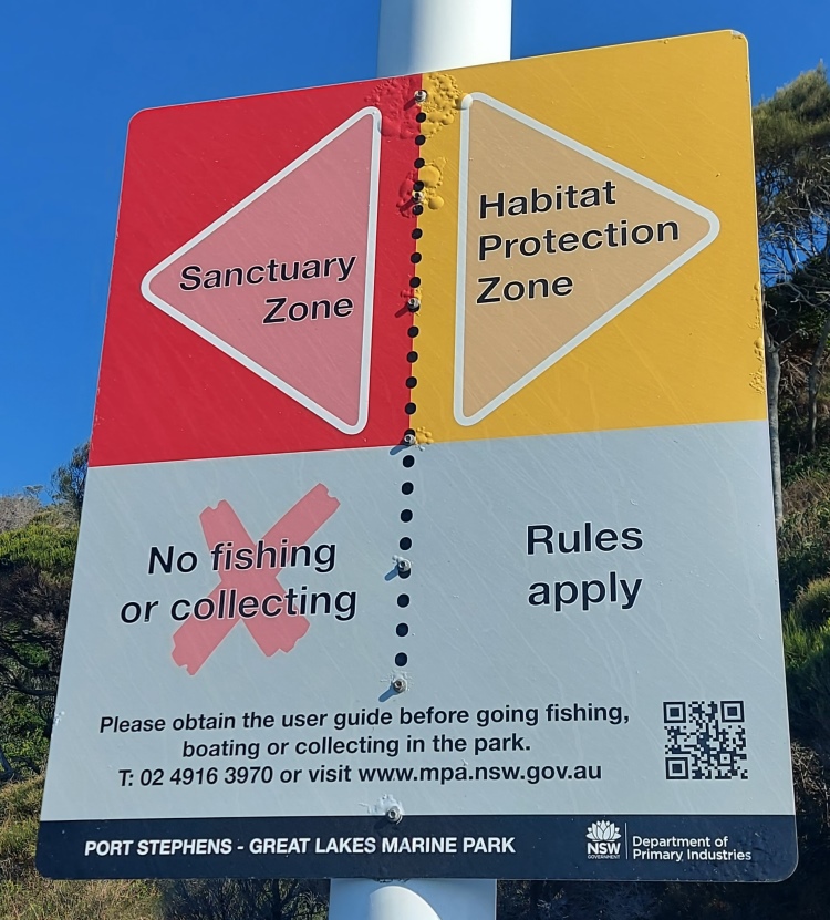
There is a sign marking the start of the sanctuary zone.
A sloping rock at ⑥ makes it difficult to continue any further (here on Google Maps).
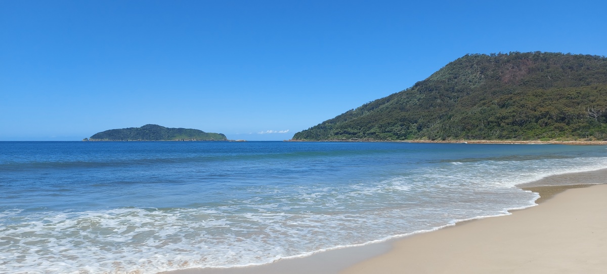
There is a good view of the beach from here.
Up to this point, the track is fairly wide.
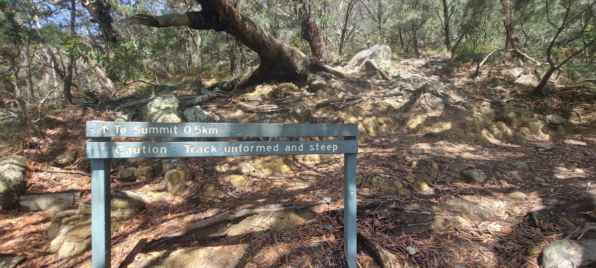
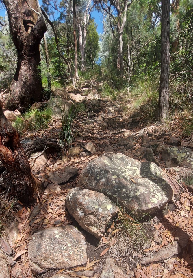
After ⑦ the track narrows and becomes more steep and rocky. The summit is another 100 metres above sea level.
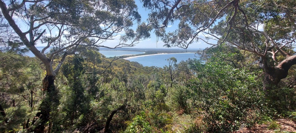
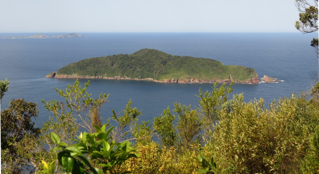
The summit is fairly bushy, but there are still some nice views. This is Cabbage Tree Island (also called John Gould Nature Reserve).
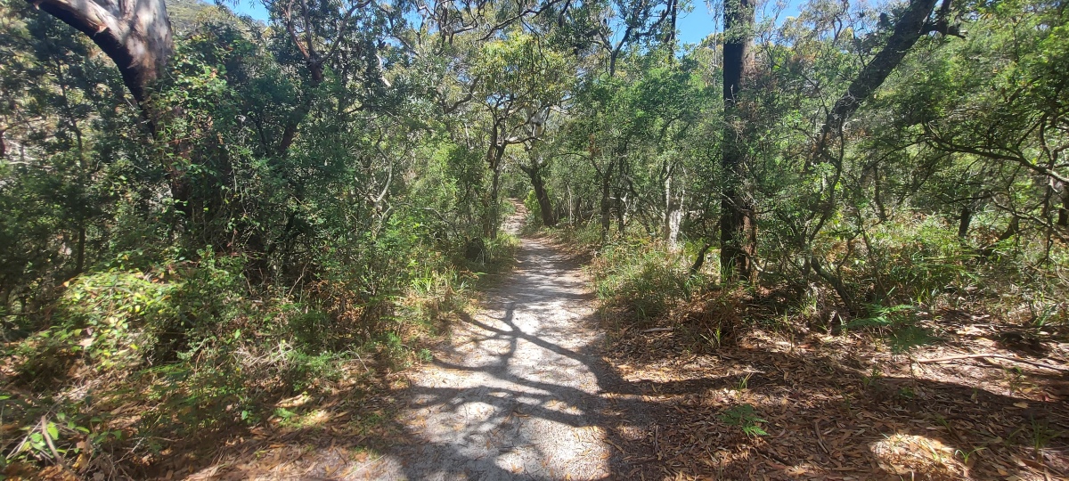
The sandy path from ① to ⑨ has a rainforest feel and is relatively cool on a hot day. One section gets muddy after rain.
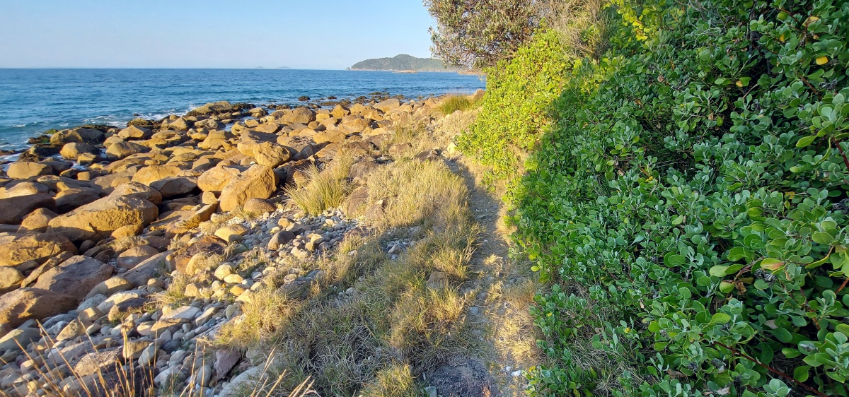
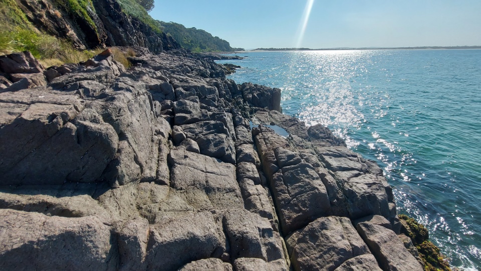
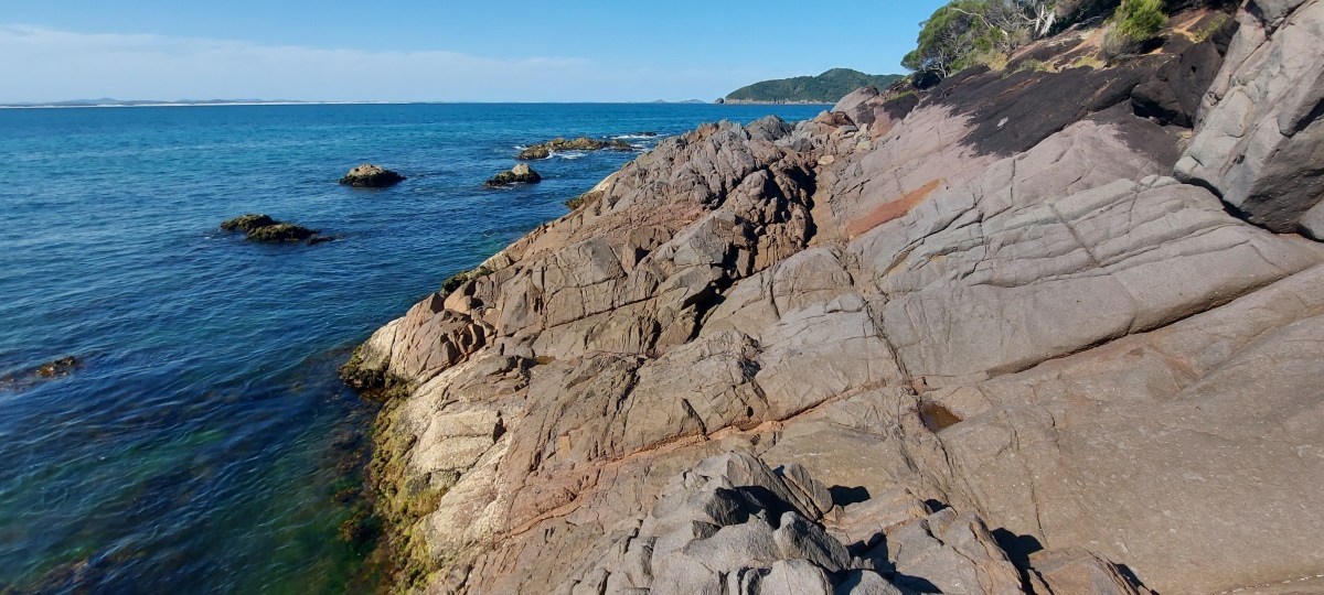
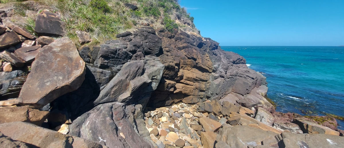
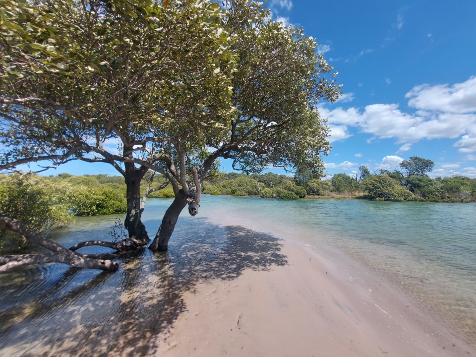
There is a good view over the water where the trail reaches the shoreline. Down the rocks and to the right 100 metres or so, the water can be nice and shallow for paddling at low tide.
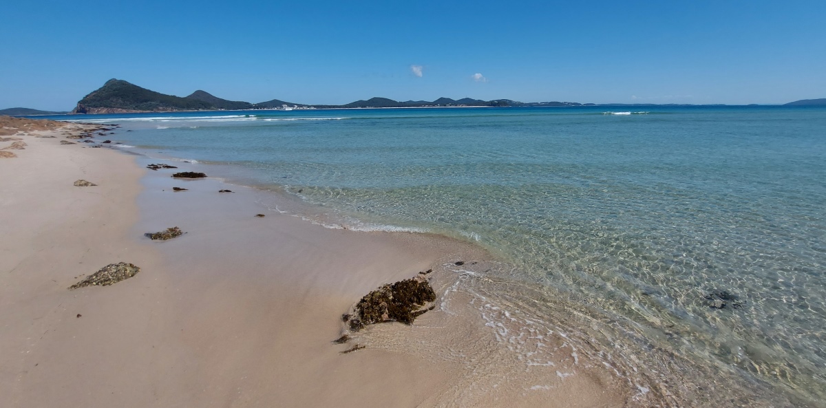
You can walk to the left a little way, but it gets quite rocky. It is much easier to continue down the track to ⑩.
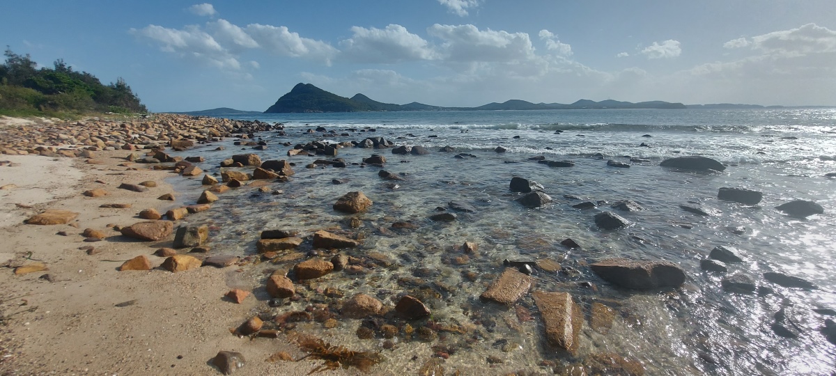
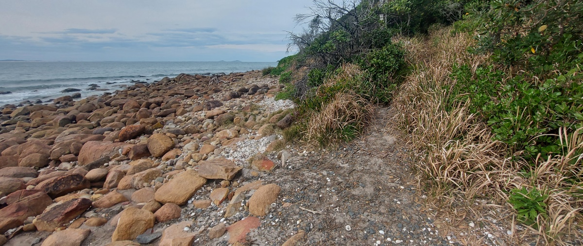
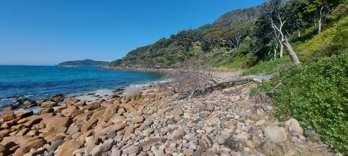
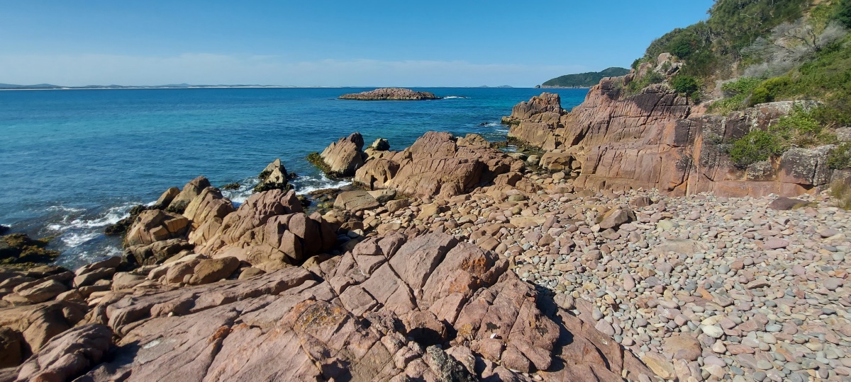
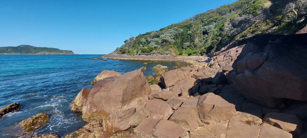
At the end of the track the shoreline is covered with round rocks that can be hard to walk over, because they can shift under you. It may be easier to rock hop across the larger rocks near the water.
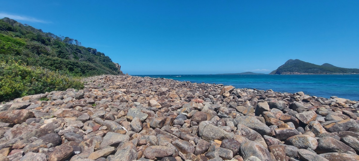
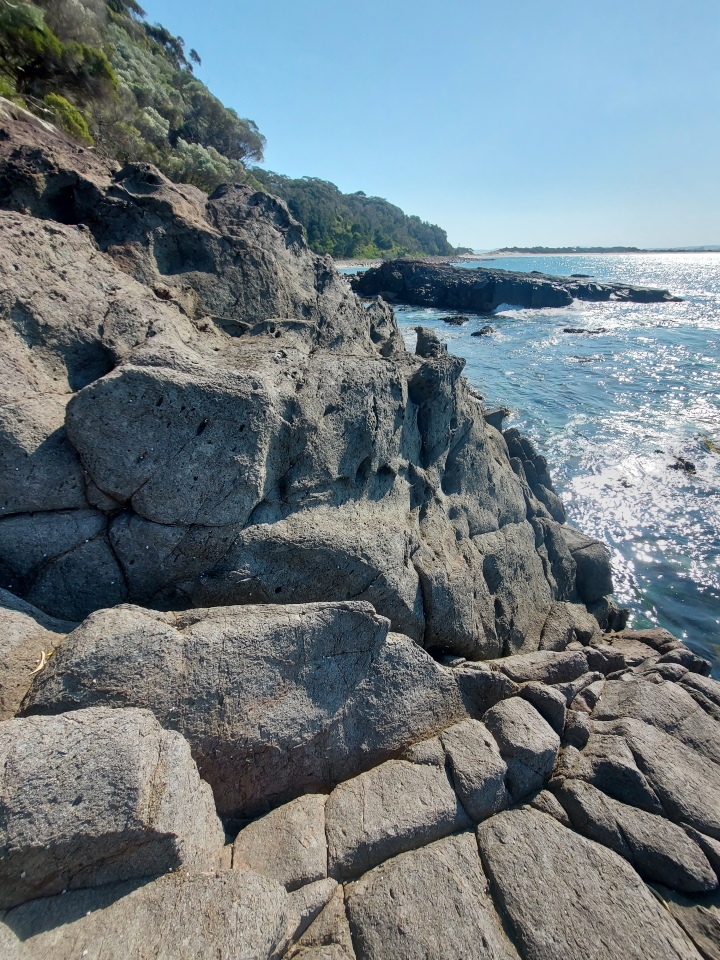
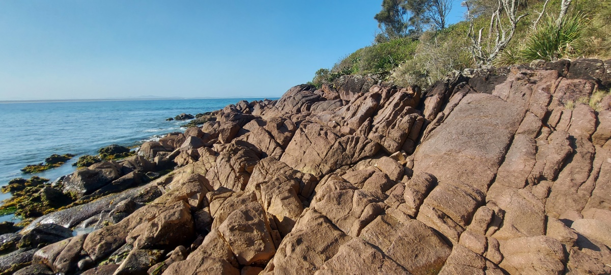
The rocks get bigger again, but can be slippery and awkward to climb across.
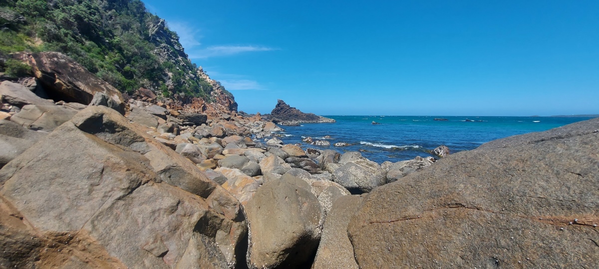
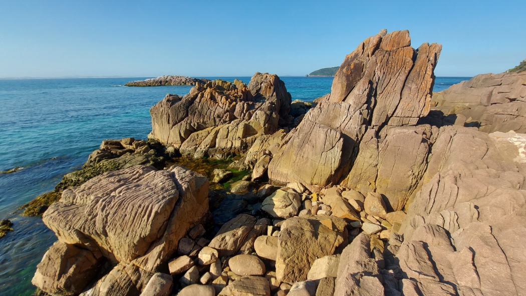
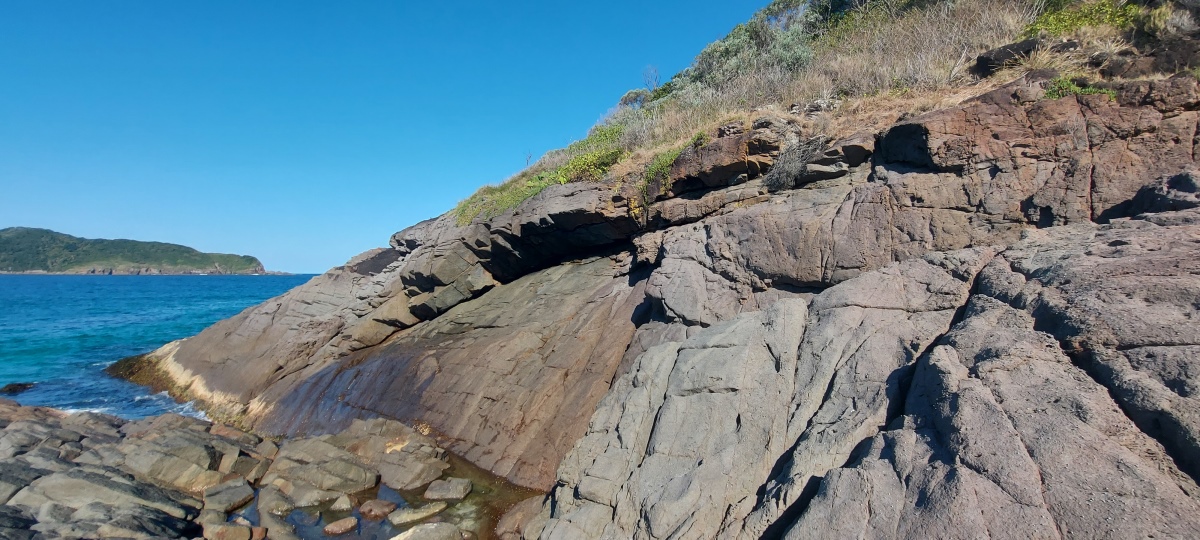
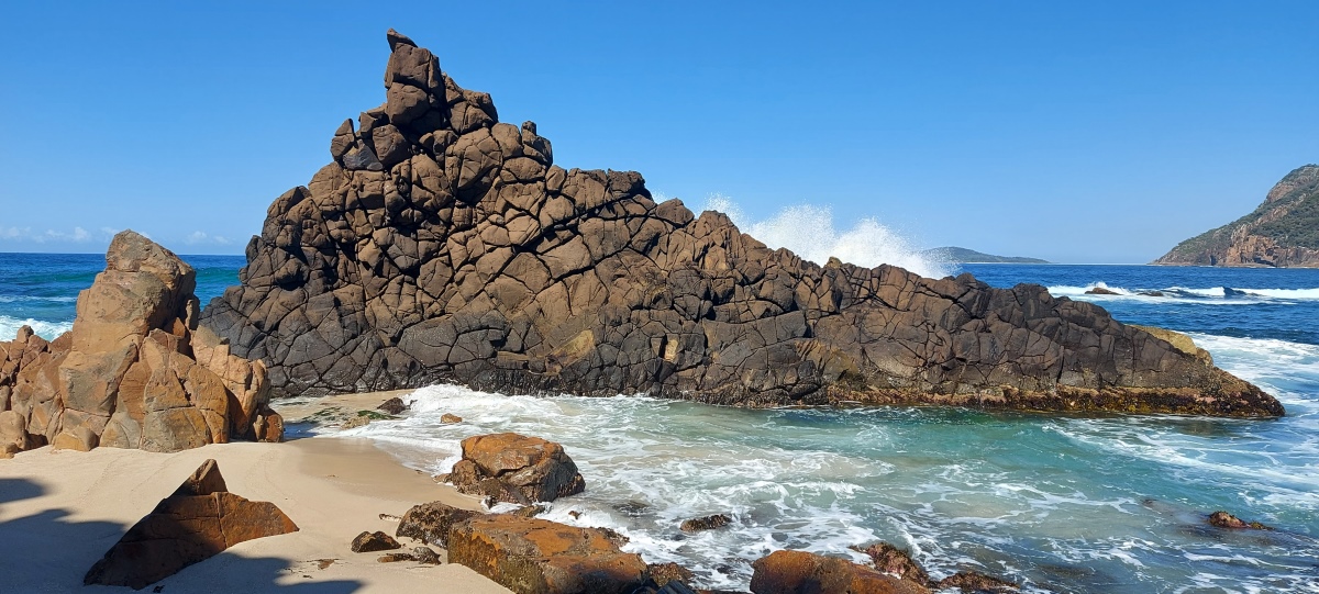
It is fairly easy to climb up the rock formation (diagonally up and right from the middle); the tricky part is getting across to it. The rocks right in front of it can be slippery.
Sometimes there is sand here, which makes it easier to get across.
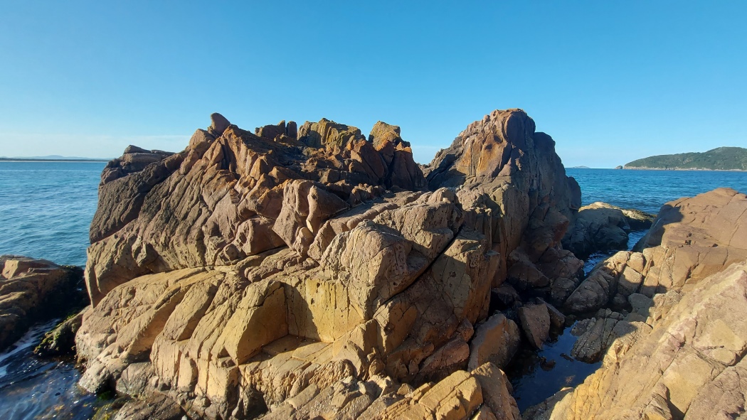
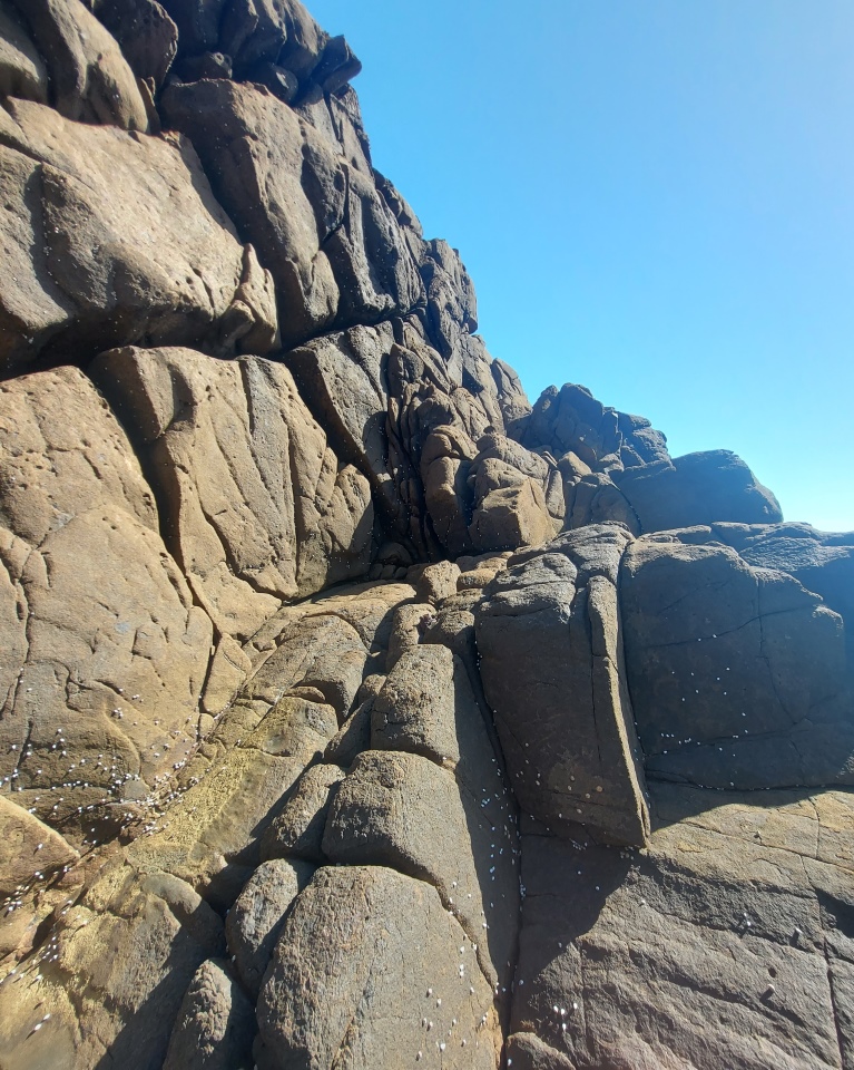
The way up from the middle of the rock.
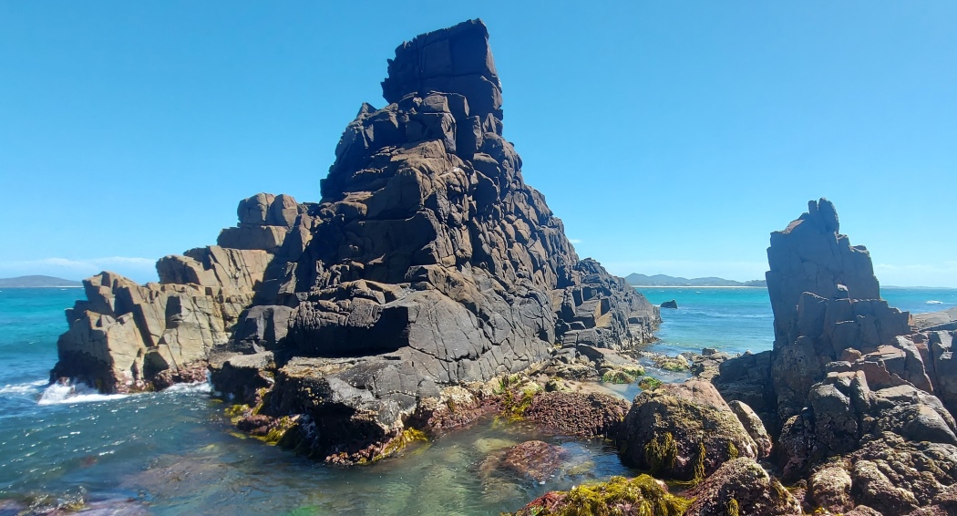
There are actually two formations with different colours; the far one is lower down.
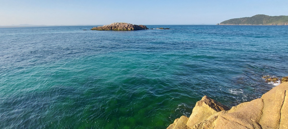
The view from the top is spectacular (video, another video), but it can get windy.
There are sometimes dolphins in this area (left of centre in this photo).
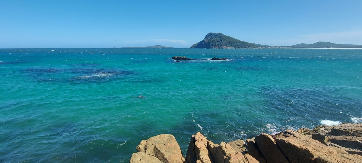
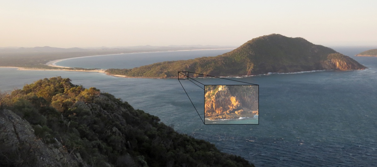
There is a lookout at the top of Tomaree Head (in the background of the previous photo). You can see this area from the lookout.
A cliff makes it difficult to get much further around the coast (here on Google Maps).
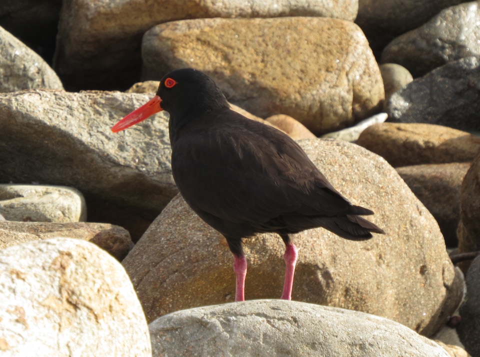
You may see oyster catchers along the southern shoreline.
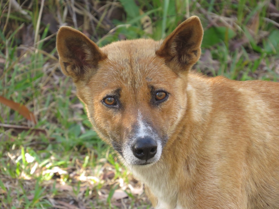
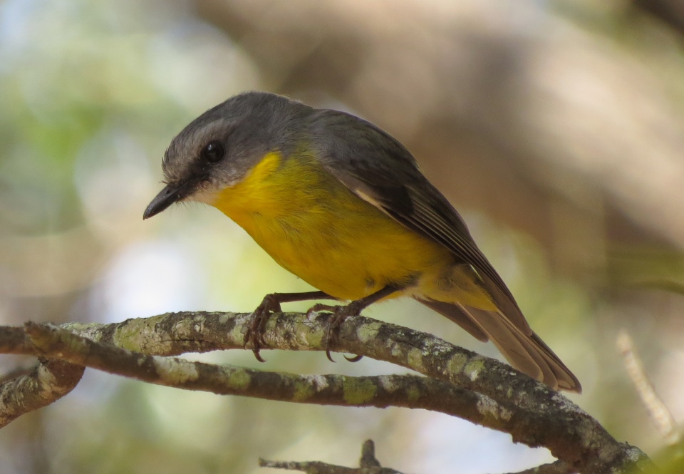
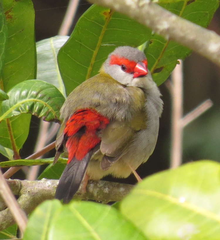
There are plenty of smaller birds around too.
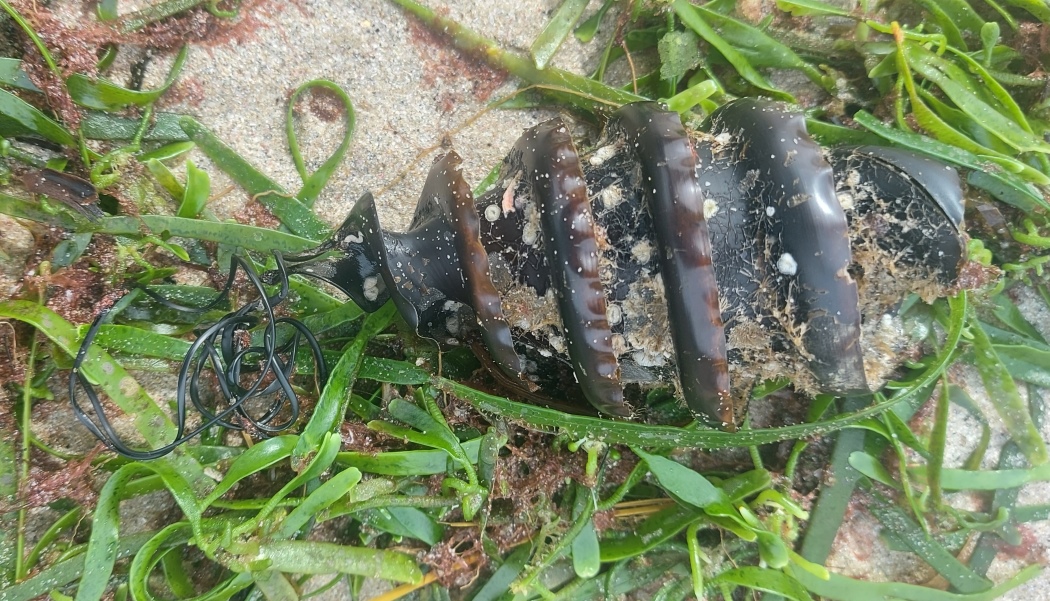
A shark egg on the beach.
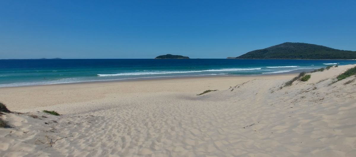
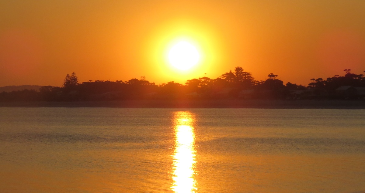
A good spot to see the sunset after a walk at Yacaaba Headland (and the nearest public toilets too).
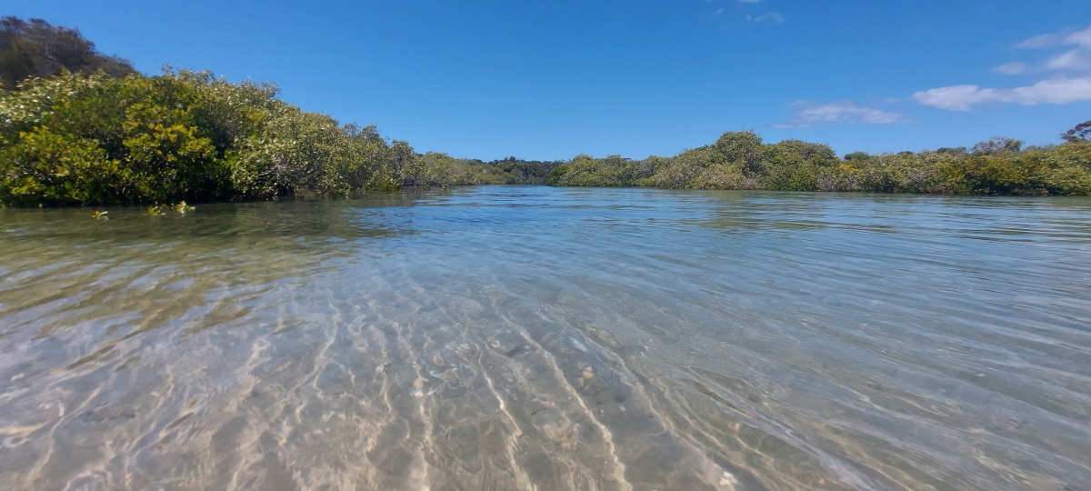
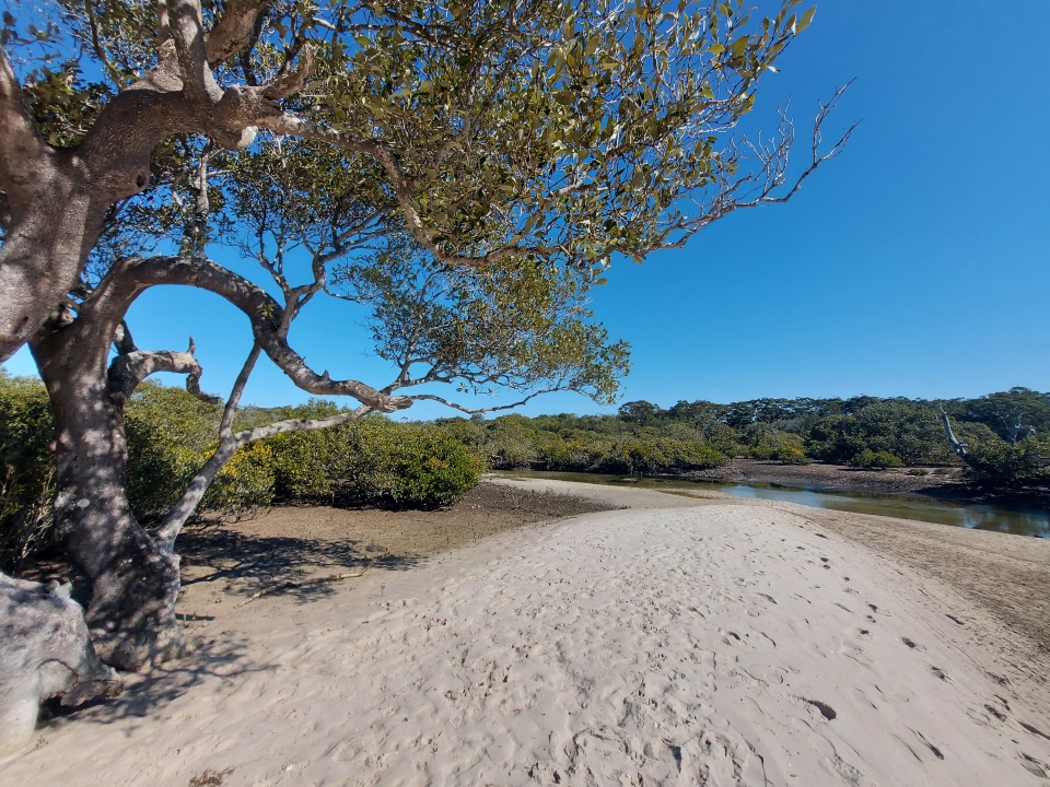
It is much more exposed at low tide.
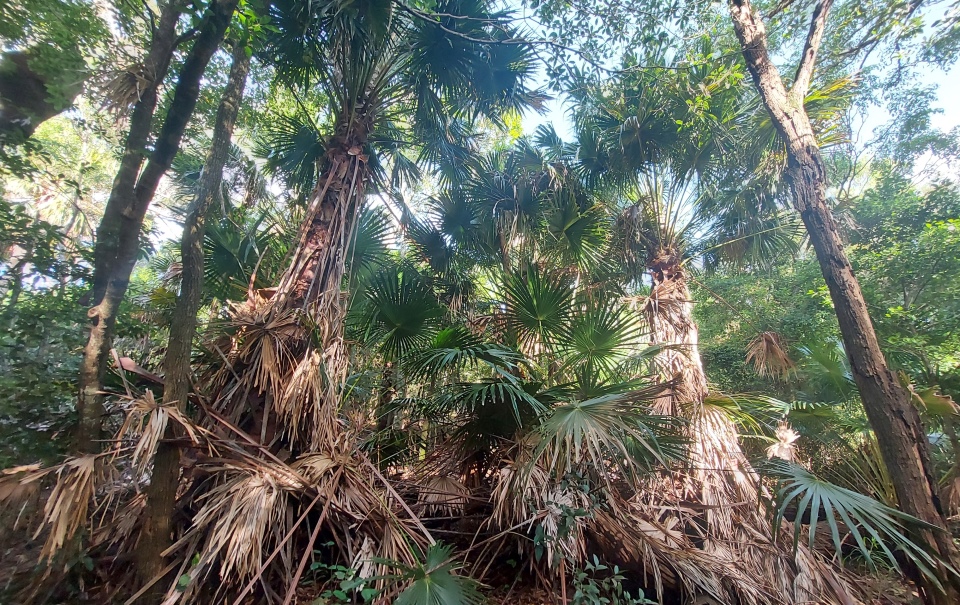
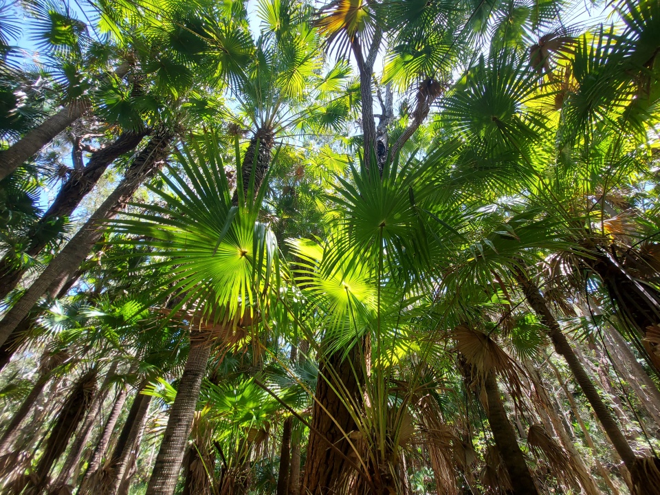
There is a short (1.5 km) rainforest walk at Dees Corner.
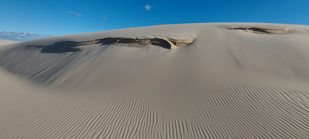
As well as some dunes to explore at Dark Point.
Send questions or comments to:
davidfisher@australiaonline.net.au